

















A smart city wayfinding system must do more than point people toward a destination: it must help users make decisions when conditions change. Parking availability, public transport arrivals, entrance changes, event routes, and emergency notices can all become outdated faster than a static sign can be replaced.
That is why smart digital signage is best understood as a connected information system rather than simply a sign with a screen. Data sources, a content management system (CMS), digital endpoints, and equipment monitoring work together to deliver the right information at the right decision point.
This article explains how that architecture works, where different digital wayfinding endpoints fit, and how connected signage can be planned for transport hubs, public spaces, malls, and mixed-use developments.
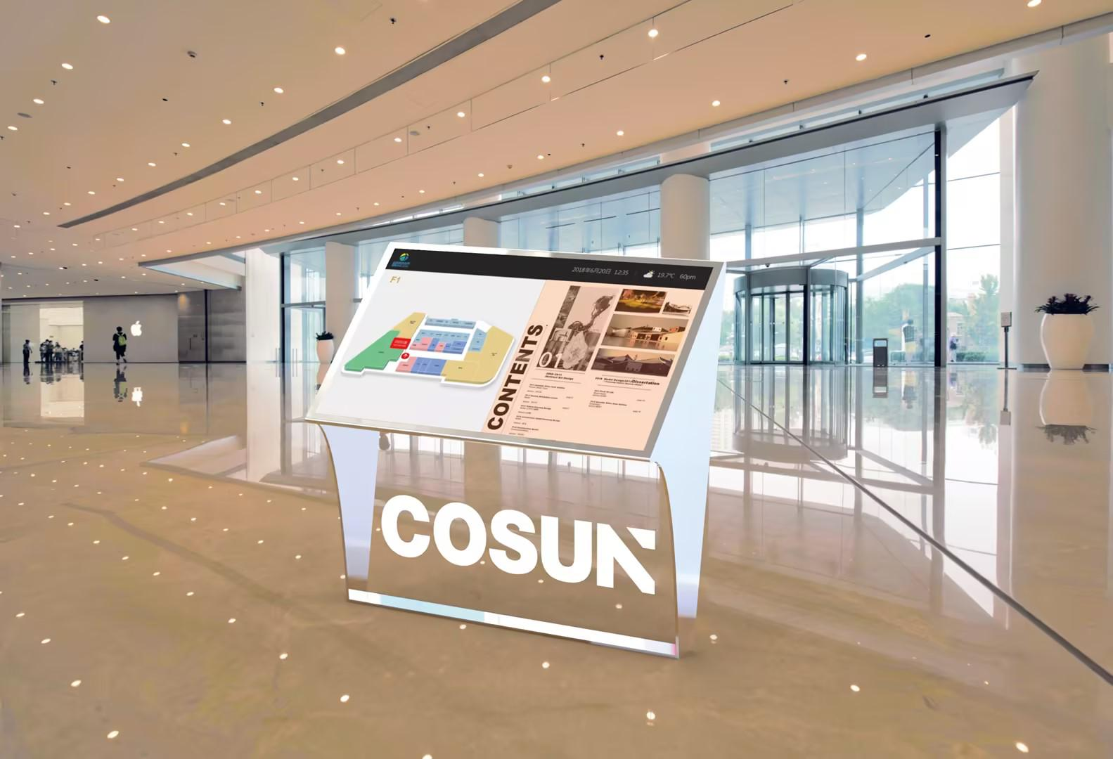
What Makes Wayfinding Signage “Smart”?
A wayfinding sign becomes “smart” when it can connect to information, be centrally managed, and respond to changing operational requirements rather than simply display fixed content.
Traditional, Digital, and IoT-Enabled Signage
The main difference between traditional, digital, and IoT-enabled signage is the level of connectivity and operational control available to the operator.
| Signage type | Information model | Typical management |
| Traditional sign | Fixed directions and identifiers | Physical replacement or adjustment |
| Digital signage | Changeable visual content | Remote content updates |
| IoT-enabled signage | Connected data, rules, devices, and monitoring | Centralized management plus operational feedback |
A traditional sign remains useful for permanent directions, especially where information changes rarely. Digital signage adds flexibility because operators can remotely change messages, schedules, maps, or announcements.
IoT-enabled wayfinding goes a step further by connecting signage with operational data, centralized management, and device-status information where these capabilities are included in the project architecture. Importantly, an IoT-enabled system does not necessarily require a touchscreen or a separate sensor on every sign. The defining characteristic is connectivity between information, management, and physical endpoints.
The Core Components of a Smart Wayfinding System
A connected wayfinding system normally consists of three main layers: data sources, a management layer, and digital endpoints.
- Data sources:Transportation, parking, building operations, events, weather, directories, or equipment-status information can provide the data needed for wayfinding and information updates.
- Management layer:A CMS can organize content, user permissions, schedules, and publishing across different endpoints. Depending on the project design, APIs, gateways, or other data interfaces may also be used to connect external systems and transfer information. These are common integration methods in smart wayfinding projects rather than fixed interfaces supported by every system.
- Endpoint layer:Digital signs, freestanding terminals, interactive kiosks, LED information displays, and mobile entry points present wayfinding and related information to users.
The exact architecture should be defined according to the project’s data sources and operational responsibilities rather than assuming that every deployment uses the same interfaces.
How IoT Real-Time Data Collection Reaches a Wayfinding Display
Real-time information becomes useful only when it is collected, processed, governed, and delivered according to the decisions users need to make.
Common Real-Time Data Sources
The most useful data sources are those that directly influence a person’s next navigation decision.
For example, transportation digital signage can present arrival or departure information, while parking information can help drivers decide where to enter a complex. Event routes, weather information, venue status, and emergency messages can similarly affect how people move through a site.
Data collection should therefore start with a defined operational question: what decision should this information help the visitor make? Data authorization, privacy requirements, and ownership should also be established before connecting external systems.
The Data Flow from Source to Screen
A practical project architecture can be represented as:
Data Source / Sensor → Gateway or API → CMS / Platform → Business Rules → Digital Wayfinding Endpoints → Monitoring Dashboard
Each layer has a specific responsibility. The source provides information; the connection layer transfers it; the CMS or platform organizes content; business rules determine how information should be presented; endpoints publish it; and monitoring helps operators identify equipment problems.
This is a project-design framework, not a claim that every COSUN SIGN deployment supports every possible interface or third-party system.
Update Frequency and Offline Fallback
Not every piece of wayfinding information needs second-by-second updates, so update frequency should match the information’s operational value.
| Information type | Appropriate update approach |
| Emergency notification | Immediate priority publishing |
| Transportation status | Frequent updates according to source availability |
| Parking or venue status | Periodic updates based on operational requirements |
| Events and promotions | Scheduled publishing |
| Permanent maps and directions | Occasional content revision |
A reliable project should also define what happens when connectivity is interrupted. Scheduled content, cached information, and static fallback content can be considered during project planning, while emergency messages should receive an explicit priority strategy.
Smart Signposts and Digital Wayfinding Endpoints
The right endpoint depends on where the user makes a decision, how much information is needed, and how far away the information must be read.
Match the Endpoint to the User Decision Point
Different endpoints solve different navigation problems.
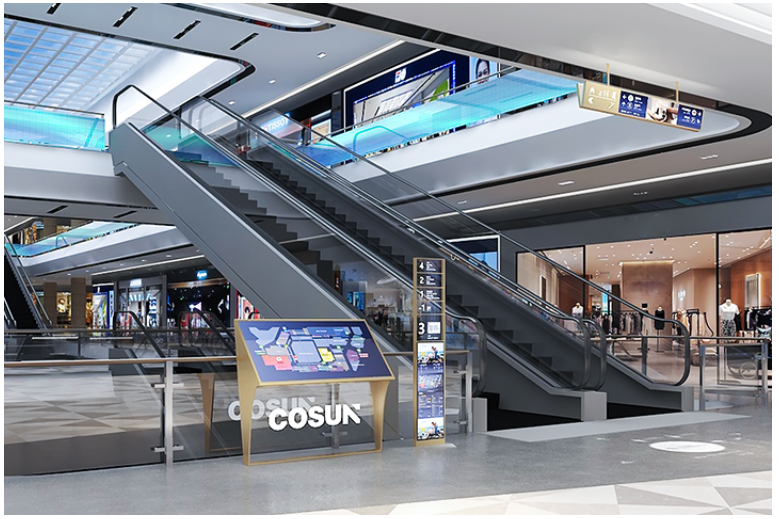
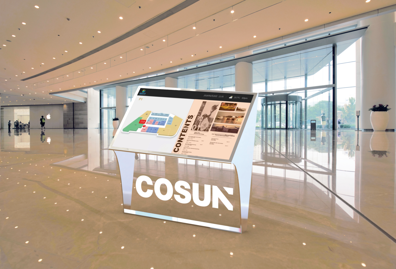
- Interactive kiosks:Suitable for searching locations, browsing maps, and exploring routes.
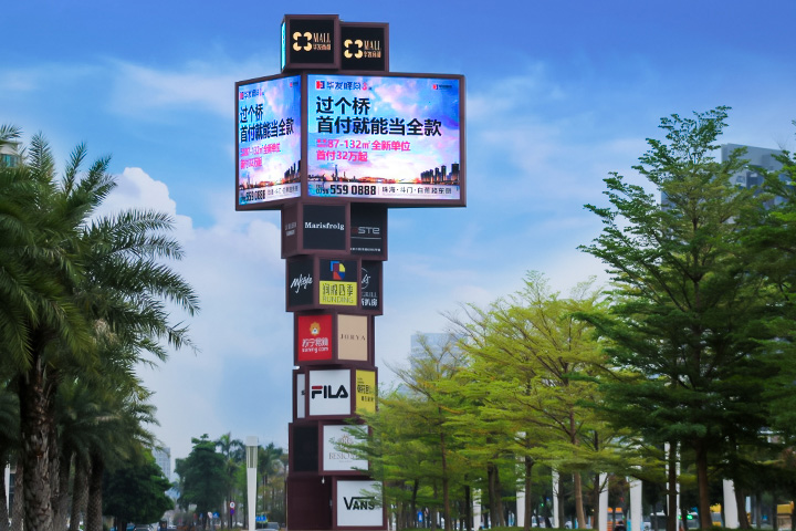
- Digital signposts:Useful at entrances, plazas, roads, and public-space decision points.
- LED or suspended displays:Appropriate where information must be visible from greater distances or to large crowds.
- QR codes and mobile pages:Extend on-site wayfinding onto a visitor’s personal device.
A digital wayfinding solution should therefore combine endpoints rather than treating every location as a kiosk opportunity. A visitor may search for a destination on a kiosk, follow directional information from a digital signpost, and continue the route using a mobile page.
Hardware Reliability for Public and Outdoor Environments
Public digital signage must be designed around its physical environment because screen performance alone does not determine long-term usability.
The publicly documented Zhuhai Hengqin Port project demonstrates this principle through day-and-night visibility testing, coastal durability considerations, modular serviceability, anti-glare faces on indoor directional signs, and the use of indoor LCD and outdoor LED terminals.
COSUN SIGN’s role in the project also illustrates why digital systems depend on physical execution. The project combined static identification, indoor wayfinding, digital displays, and centralized content management rather than treating the screen as an isolated product.
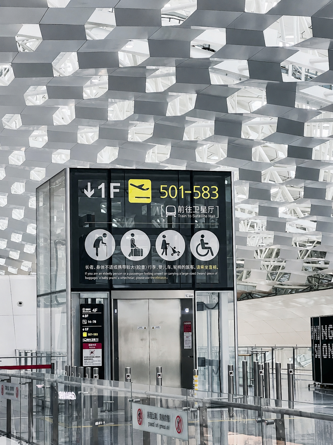
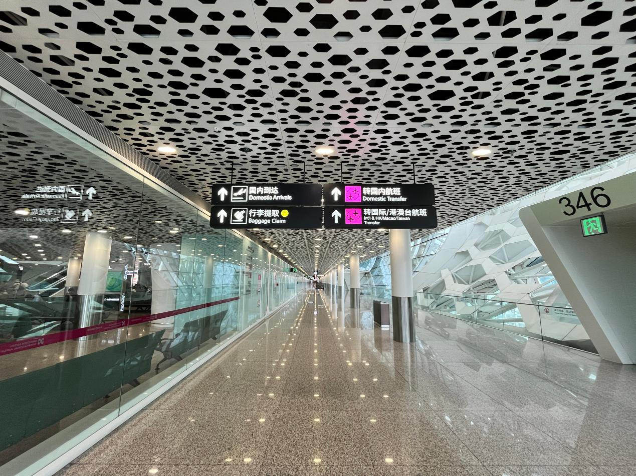
The Shenzhen Airport project provides a separate example of equipment intelligence. According to COSUN SIGN’s public case information, sensors and controllers can monitor conditions including vibration, tilt or displacement, electrical faults, overload, and abnormal temperature, with alerts sent to a maintenance platform.
How Content Management Coordinates a Digital Wayfinding Network
A centralized content management system is the operational layer that turns multiple displays into one coordinated network.
Information Sources and Connection Options
A smart wayfinding network may handle parking information, public transportation, event schedules, merchant directories, and emergency communications, but the specific data connections depend on the project.
For COSUN SIGN, publicly documented project information confirms capabilities centered on centralized CMS management, remote content updates, scheduled playback, user roles, emergency information coverage, and equipment monitoring.
That distinction matters when evaluating a supplier. A project specification should separately confirm which external systems need integration and which functions are already available within the signage management environment.
Centralized Control and Multi-Terminal Publishing
Centralized publishing allows operators to manage information from one location instead of manually changing individual displays.
The Zhuhai Hengqin Port case provides a concrete example: COSUN SIGN implemented a centralized CMS for remote content updates, scheduled playback, user permissions, and emergency information coverage across digital terminals distributed through the project.
The Shenzhen Airport case demonstrates a different but complementary capability: remote equipment control, power and energy statistics, equipment-status monitoring, and abnormal-condition detection. These capabilities should be treated as separately confirmed project functions rather than automatically combining every feature into a single standard configuration.
Confirmed Functions and Delivery Boundaries
A credible procurement discussion should distinguish confirmed capabilities from requirements that still need technical validation.
Publicly confirmed COSUN SIGN capabilities include:
- CMS-based remote content updates
- Scheduled content playback
- User-role management
- Emergency information coverage
- Sensors and controllers for equipment monitoring
- Maintenance-platform alerts
- Equipment status and power-related monitoring in the documented Shenzhen Airport project
However, API protocols, third-party compatibility, cloud deployment, network segmentation, data ownership, and interface-development responsibilities should be confirmed during project engineering rather than assumed.
High-Value Use Cases for Smart Wayfinding Signage
Smart wayfinding is most valuable where people need current information while moving through a complex environment.
Urban Streets, Parks, and Public Spaces
Public-space digital wayfinding signage can combine maps, public transportation information, event routes, tourism content, weather information, and emergency notices.
The advantage is operational flexibility: information that changes during the day can be updated without physically replacing the sign.

Airports, Metro, Train, and Bus Hubs
Transportation environments benefit from combining permanent directional signs with transportation digital signage for changing information.
Arrival and departure information, platform changes, transfers, and evacuation messages can be displayed at appropriate decision points while fixed signs continue providing fundamental orientation.
Shopping Malls and Mixed-Use Developments
Malls can use a digital signage kiosk for directory searches and map exploration while digital displays communicate events, parking information, and promotional content.
The key is to align content with visitor intent. A visitor looking for a restaurant needs a searchable directory, while a driver approaching an exit needs concise parking or directional information.
How to Plan and Evaluate a Connected Wayfinding Project
A successful connected signage project starts with operational requirements, not with a screen specification.
Project Planning Checklist
Use the following sequence before selecting hardware or finalizing a system design:
- Define user tasks and operational problems.Identify where visitors get lost, wait for information, or encounter changing conditions.
- Inventory data sources.Document available data, update frequency, interfaces, ownership, and responsible teams.
- Determine endpoint requirements.Assess location, viewing distance, interaction needs, indoor/outdoor conditions, and accessibility.
- Plan operational resilience.Define multilingual content, accessibility, static fallback, network security, and remote maintenance requirements.
- Pilot before scaling.Test one representative area, validate the workflow, and then expand to additional zones or sites.
Recommended Evaluation Framework
A connected wayfinding project should be evaluated using measurable operational indicators rather than screen specifications alone.
| Evaluation metric | What it reveals |
| Content update time | How quickly information changes reach users |
| Terminal update consistency | Whether displays remain synchronized |
| Device availability | Whether endpoints remain operational |
| Fault response time | How efficiently problems are handled |
| Expired-information incidents | Whether outdated content remains visible |
| Visitor inquiry volume | Whether wayfinding reduces avoidable assistance requests |
| Manual inspection frequency | How much routine checking remains necessary |
These are recommended evaluation metrics, not published COSUN SIGN performance figures. A project team should establish its own baseline and target values during commissioning.
COSUN SIGN Case Study: Connected Wayfinding at Zhuhai Hengqin Port
The 2023 Zhuhai Hengqin Port and Integrated Transportation Hub project demonstrates how static signage and digital information can operate as one coordinated wayfinding environment.
Context: A High-Volume, Multi-Modal Environment
The project supports 24/7 port operations, passenger circulation, and public information, with COSUN SIGN’s scope covering static signage, illuminated identification, indoor digital displays, and centralized content management.
The environment created several requirements at once: high passenger volumes, multiple transportation modes, outdoor visibility during day and night, coastal environmental conditions, dynamic information publishing, and coordination with complex construction and traffic organization.
Action: Combine Physical Wayfinding with Centralized Digital Publishing
COSUN SIGN integrated outdoor identification, indoor directional signage, indoor LCD displays, and outdoor LED terminals.
The project also used centralized CMS management for remote updates, scheduled playback, user permissions, and emergency information coverage. On-site visibility testing, commissioning, training, and maintenance-document delivery formed part of the project execution.
Result: A Coordinated Information Environment
The publicly documented outcome is a wayfinding environment that supports 24/7 passenger service and public information publishing while combining fixed directional signage with digital endpoints.
The case does not publicly disclose figures for device availability, content-update speed, maintenance-cost reduction, or other quantitative operational KPIs, so those metrics should not be inferred.
Feedback: What the Public Case Confirms
No quantified end-user testimonial is publicly provided in the cited case material. Therefore, the defensible conclusion is limited to the documented project scope and capabilities: centralized digital publishing, coordinated static and digital wayfinding, emergency information coverage, and completed commissioning and maintenance handover.
For organizations planning a smart city or large-scale venue project, that distinction is important. The value of a connected digital wayfinding solution comes not from adding screens alone, but from connecting reliable information, appropriate endpoints, centralized publishing, and maintainable infrastructure into one operational system.

 粤公网安备44030702001648号