















Integrated Wayfinding Across a 490,000 m² Mixed-Use Development
Project name: Qingdao Haitian Center
Time: 2020
Quick Answer
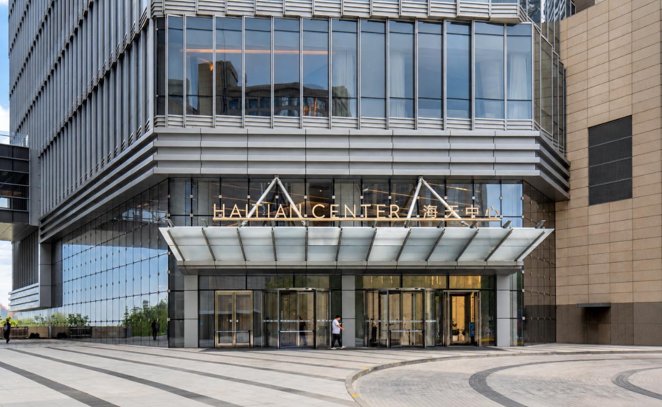
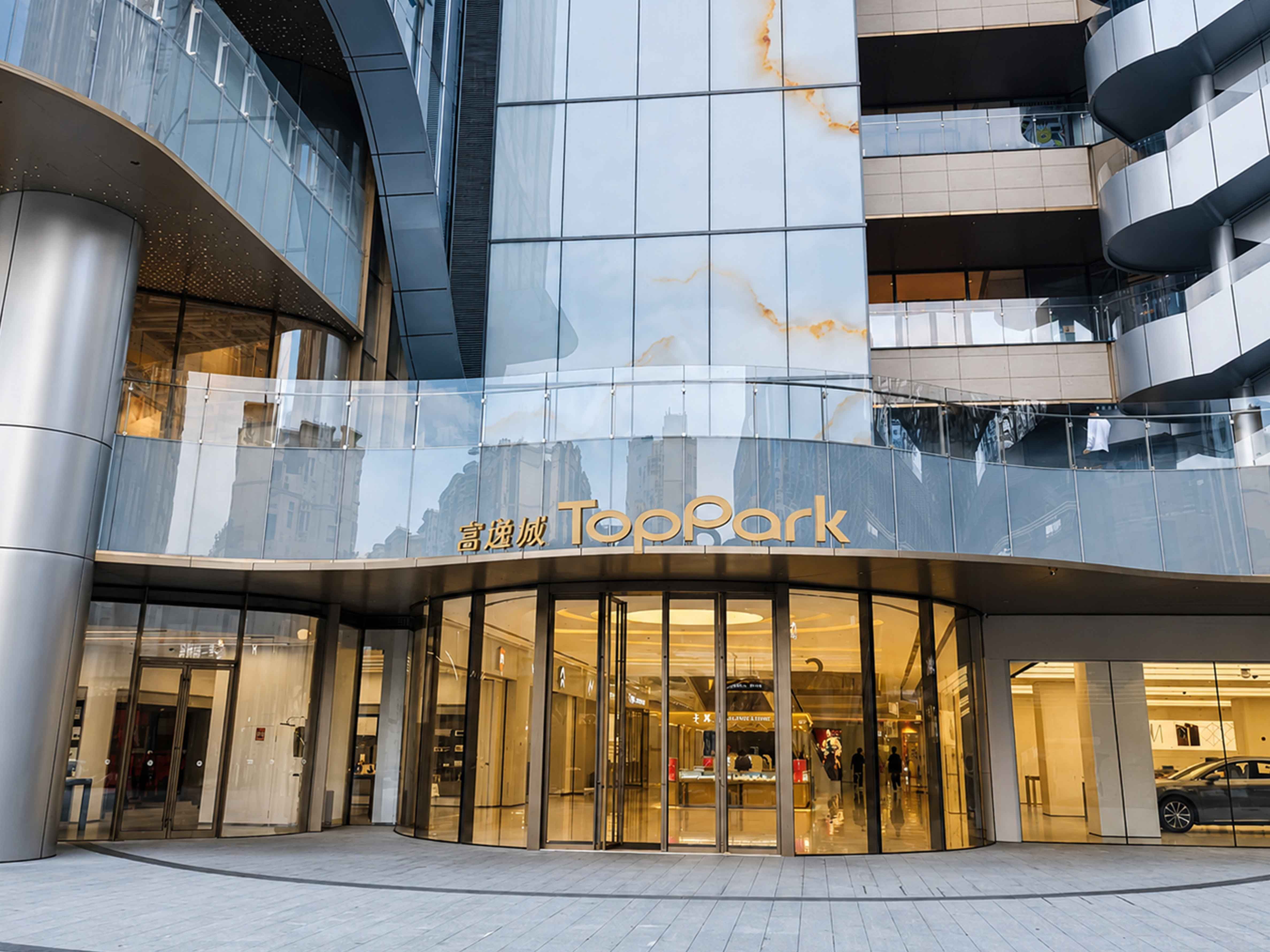
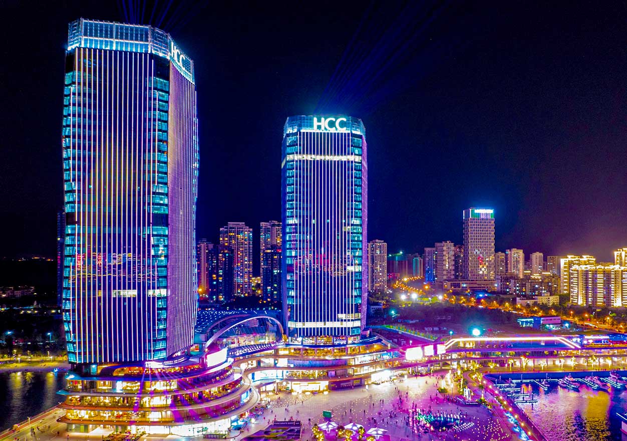
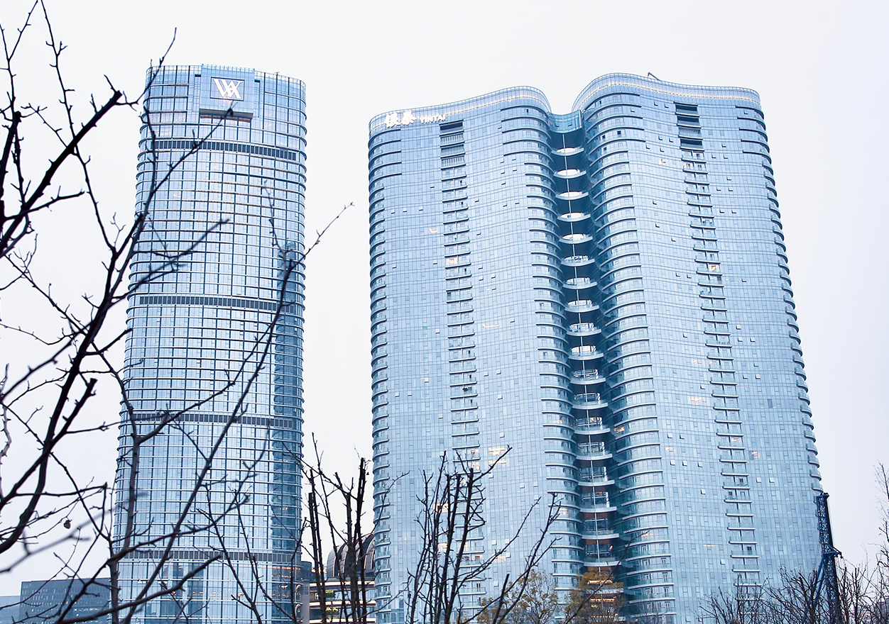
Qingdao Haitian Center is an approximately 490,000 m² mixed-use development comprising three high-rise towers, two podium buildings and underground facilities. Its functions include office, residential/apartment, commercial, hospitality and cultural spaces, creating multiple circulation patterns within one complex.
COSUN SIGN delivered a multi-layer signage scope covering vehicle arrival, parking, pedestrian circulation, entrances, lobbies, vertical transportation, office areas, commercial spaces, the art center, environmental graphics, and management and safety information.
Project Snapshot
| Project | Qingdao Haitian Center |
| Location | Qingdao, Shandong, China |
| Project Type | Mixed-Use Development |
| Categories | Mixed-Use, Office, Residential, and Commercial |
| Project Scale | Approx. 490,000 m² |
| Built Form | Three high-rise towers, two podium buildings and underground facilities |
| Signage Scope | Arrival, parking, pedestrian, entrance, directory, office, commercial, art center, environmental graphics and safety signage |
| Key Challenge | Connecting multiple functions, entrances and horizontal and vertical circulation systems |
Official project records identify T1 at 210 m, T2 at 369 m and T3 at 245 m. T2 includes office space, T3 contains hotel-style apartments, the eastern podium contains commercial functions, and the underground levels include parking and supporting facilities.
1. Why Wayfinding Matters at Qingdao Haitian Center
A mixed-use development does not have a single visitor journey.
Office workers, residents, commercial visitors, drivers and visitors to public destinations enter from different locations and move toward different buildings, floors and facilities. At Haitian Center, these journeys extend across three towers, podium spaces and underground areas.
The wayfinding challenge is therefore not simply to identify individual destinations. It is to connect arrival, parking, entrances, vertical circulation and final destinations through one coordinated information hierarchy.
Engineering Note
In a mixed-use development, wayfinding must separate different user journeys while keeping them within one coherent information system.
2. Understanding a 490,000 m² Mixed-Use Environment
Haitian Center combines substantial horizontal and vertical movement.
The development has entrances on different levels and sides of the site, while a pedestrian passage between T2 and the eastern podium connects the northern side of the development toward the waterfront.
This creates several navigation layers:
Site Arrival → Parking / Drop-Off → Building Entrance → Public Circulation → Elevator / Escalator → Floor → Destination
COSUN’s signage scope responds to these layers with vehicle, pedestrian, building, floor and destination-level information rather than treating every sign as an isolated product.
3. Connecting Vehicle, Parking and Pedestrian Wayfinding
For many visitors, navigation begins in a vehicle.
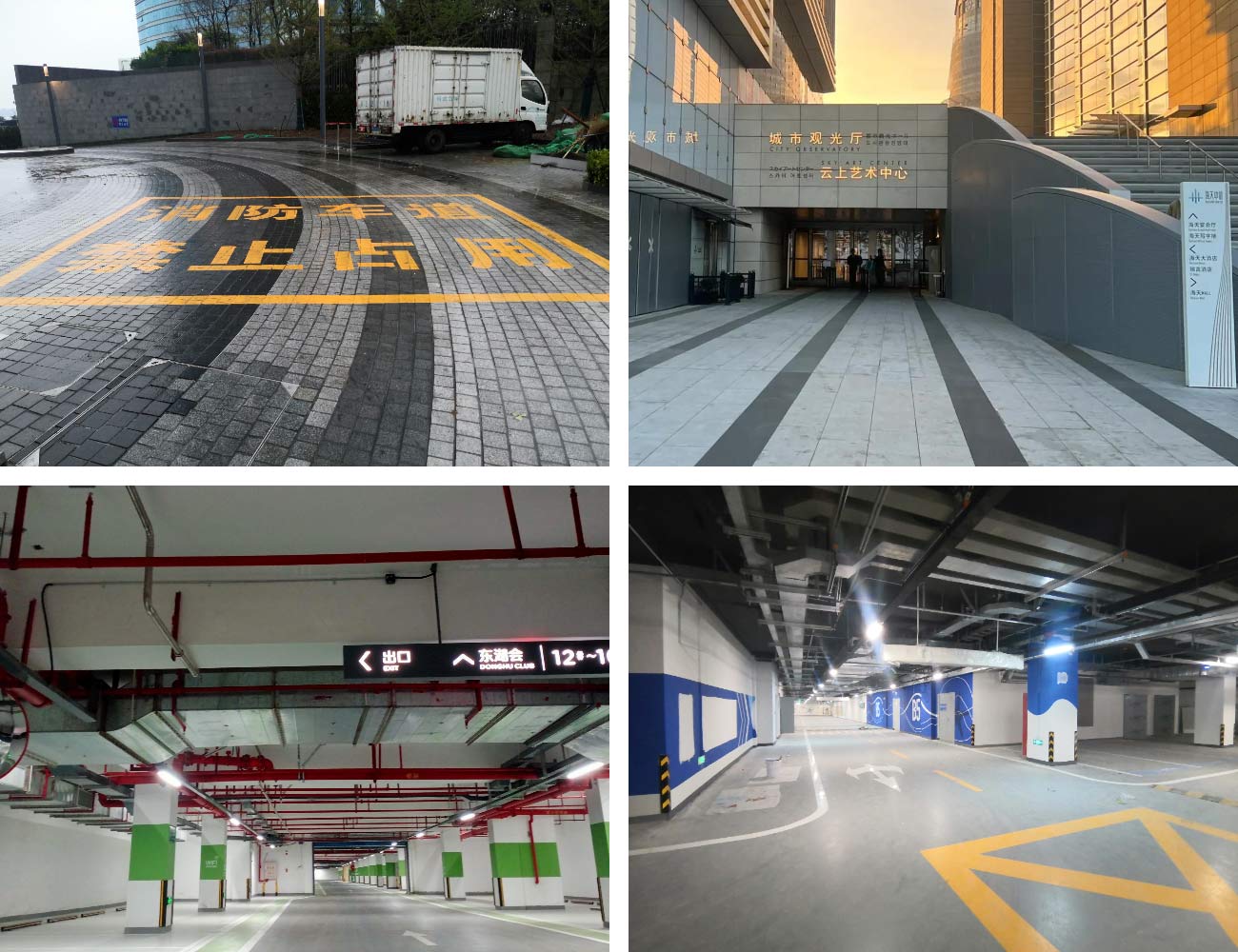
The project scope includes drop-off identification, vehicular directional signs, parking wayfinding signage, garage entrance signs, clearance-bar identification, suspended vehicle directions, parking-zone guidance and electronic parking-space information.
After parking, the information requirement changes from vehicle movement to pedestrian orientation. Users need to locate the correct building, entrance, elevator or destination.
The signage system therefore creates a continuous sequence:
Vehicle Entry → Parking Zone → Pedestrian Transition → Vertical Circulation → Destination
Project Observation
Parking wayfinding works as part of the building journey rather than as an isolated signage system.
4. Organizing Office and Vertical Wayfinding
Office environments require information to become more specific as users move upward through the building.
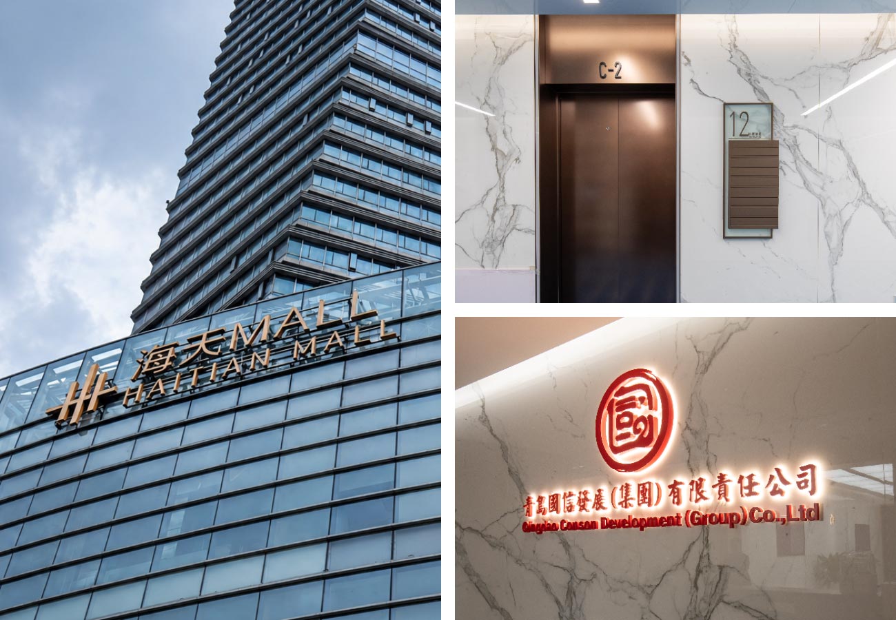
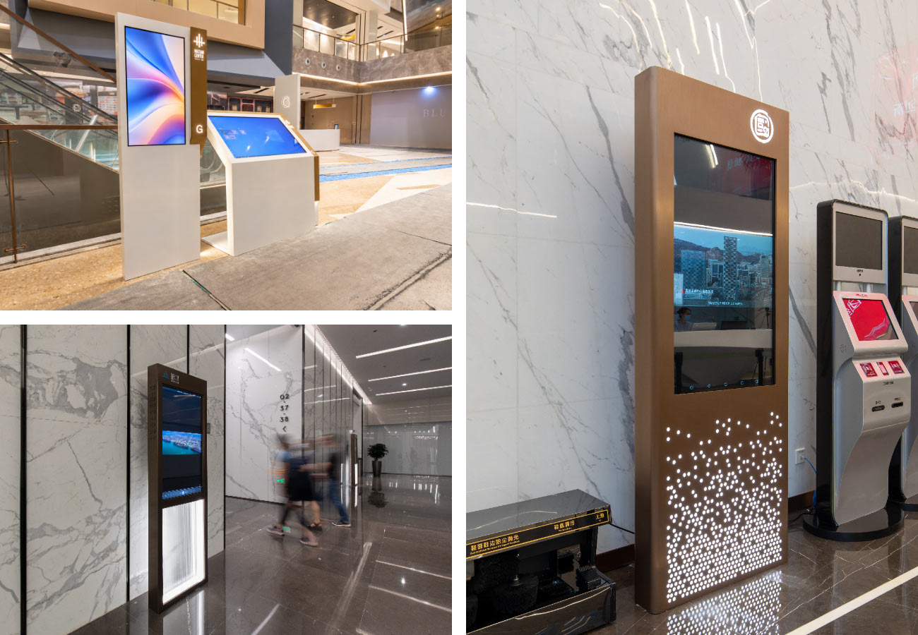
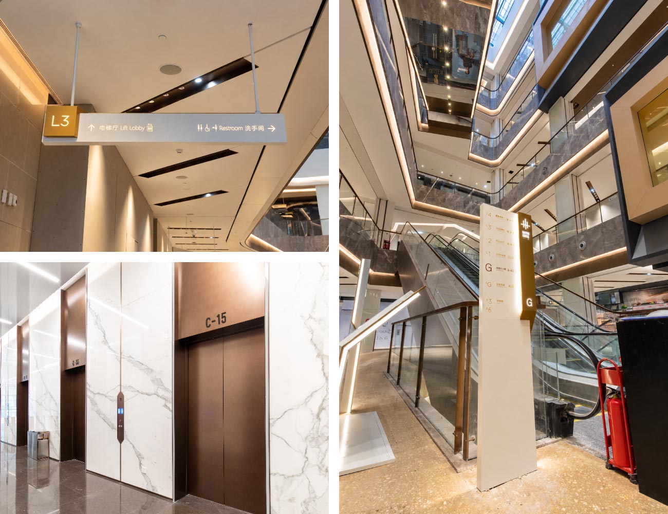
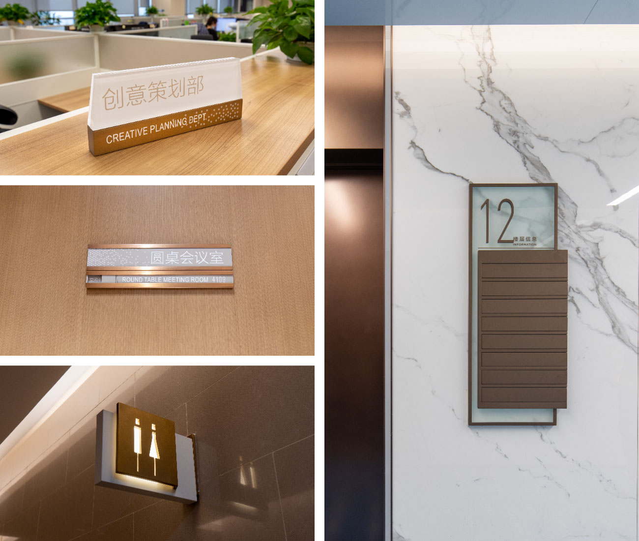
The Haitian Center scope includes lobby directions, freestanding signs, elevator numbers, elevator floor identification, elevator-lobby directories, office signs, department identification and tenant information.
Lobby signage establishes orientation. Elevator information identifies the vertical route. Floor signage confirms arrival. Office and tenant signs complete the journey.
This creates a clear information hierarchy without requiring every sign to communicate every destination.
Engineering Principle
Vertical wayfinding should provide direction before movement and confirmation after users reach the correct floor.
5. Connecting Multiple Functions Within One Development
Haitian Center combines office, residential/apartment, commercial and public environments within one development. Official records also identify apartment lobbies and residential elevator halls within T3, confirming the residential component of the complex.
These environments do not require identical information.
Shared circulation areas establish common orientation through entrance signage, directories, freestanding directions and suspended signage. More specific information then appears as users enter individual functional areas.
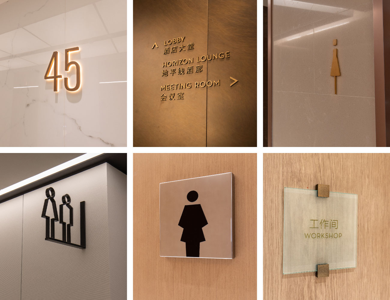
The confirmed project scope also includes service-desk signage, escalator guidance, restroom signage, tenant information and blade signs for closer-range destination identification.
The result is one development-level information hierarchy with different signage layers responding to different spaces.
6. Designing Around Key Decision Points
The most important signage locations are often where users need to make a new decision.
At Haitian Center, these include:
Drop-Off → Entrance → Lobby → Elevator / Escalator → Floor → Destination
The project includes north, west, south and primary entrance signage, lobby wall-mounted directions, standing directories, elevator-lobby signs, escalator signs and suspended directions.
Rather than distributing information uniformly, these sign types support users where routes divide or movement changes from horizontal to vertical.
This is particularly important in a high-rise development such as Haitian Center, where vertical transportation connects multiple functional zones across the towers and podium spaces.
7. Integrating Wayfinding with Environmental Graphics
The Haitian Center scope extends beyond conventional directional and identification signs.
The supplied project list includes painted environmental graphics, hand-painted figures, column-mounted illuminated lightbox directions, sculptural pedestrian light poles and surface-related works on selected walls and columns.
Within the parking environment, these graphic and illuminated elements can work alongside parking wayfinding signage to strengthen zone recognition and destination guidance.
This expands the role of signage from individual sign units into a broader environmental information system, where architecture, graphics, lighting and wayfinding work together.
Material Insight
In large parking and public environments, architectural surfaces can become part of the navigation system when graphics, lighting and directional information are coordinated with the space.
8. Extending Wayfinding to the Art Center
The art center introduces a more visitor-oriented journey within the wider complex.
The confirmed signage scope includes art center entrance signage, ticket-office and locker identification, floor signs, elevator-lobby information, directional signage and evacuation maps.
The information sequence becomes:
Entrance → Ticketing / Service → Vertical Circulation → Floor → Destination
Official project documentation confirms that T2 includes an observation and art-center environment, while related fit-out records specifically identify the art center within the upper levels of T2.
The art center can therefore maintain its own visitor information sequence while remaining connected to the wider Haitian Center wayfinding system.
9. Engineering and Construction Scope
The supplied project scope indicates that COSUN’s involvement extended beyond finished sign units.
Selected works included foundations and embedded components for major entrance signs and sculptural pedestrian light poles, together with wall and column surface works, coating and painted graphics.
This is important in a complex project because large-format signage and environmental elements often need to coordinate with architectural interfaces before final installation.
Rather than separating signage from its surroundings, the project scope shows a closer relationship between signage components, architectural surfaces and installation conditions.
10. Engineering Lessons
01 — Organize Journeys Before Individual Signs
Office, residential, commercial, parking and public users have different destinations. The system should establish shared orientation first, then provide more specific information as journeys separate.
02 — Prioritize Transition Points
Drop-off areas, entrances, parking exits, lobbies, elevators and escalators are critical because users make new navigation decisions at these locations.
03 — Connect Signage with the Built Environment
Wayfinding can extend beyond standalone signs. Environmental graphics, illuminated elements and architectural surfaces can reinforce navigation where appropriate.
Project Specifications
| Category | Confirmed Project Scope |
| Arrival | Drop-off signs, pedestrian directions, entrance signage |
| Parking | Parking wayfinding signage, garage entrance signs, clearance bars, zone guidance, electronic parking-space information |
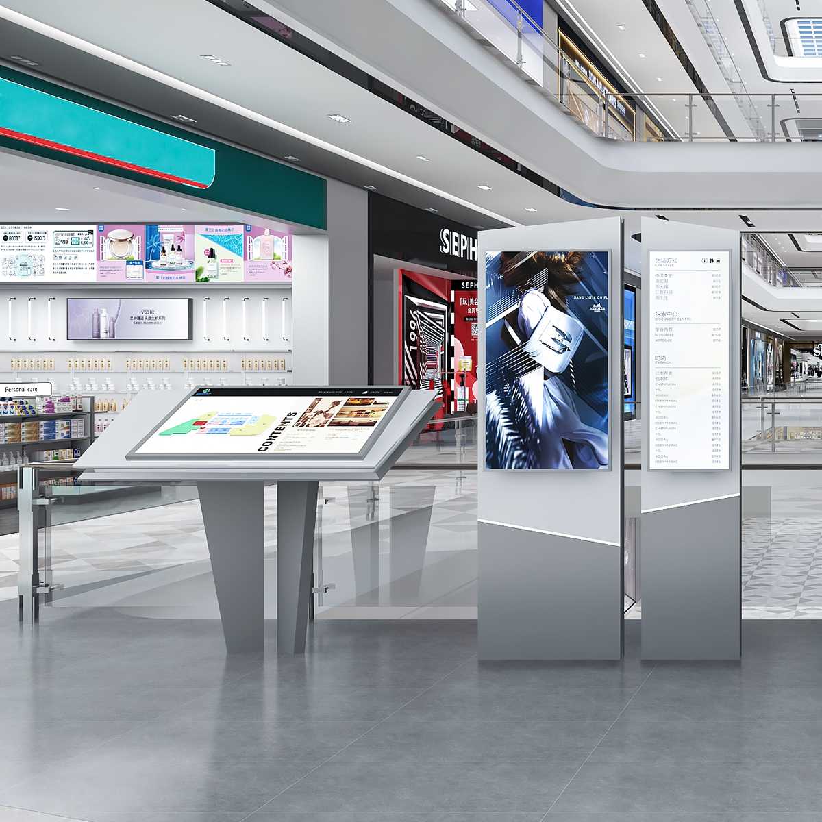
| Public Wayfinding | Freestanding, suspended and wall-mounted directional signage |
| Vertical Circulation | Elevator numbers, floor signs, elevator-lobby directories, escalator signage |
| Office | Office identification, department signs, tenant information, cabinet numbering |
| Commercial & Public Areas | Blade signs, service-desk signage, directories, restroom signage |
| Art Center | Entrance signage, ticket-office and locker signs, floor and directional signage |
| Safety & Management | Warning signs, fire-hydrant identification, evacuation information |
| Environmental Graphics | Painted graphics, hand-painted elements, column lightbox directions and sculptural light poles |
| Construction Interfaces | Selected foundations, embedded components and wall / column surface works |
Engineering Questions
How should wayfinding be organized in a mixed-use development?
Wayfinding should begin with shared site and building orientation, then become more specific as users move toward office, residential, commercial or public destinations.
A typical hierarchy is:
Arrival → Entrance → Route → Vertical Circulation → Floor → Destination
How should parking wayfinding connect with building wayfinding?
Parking wayfinding signage should continue beyond vehicle movement.
Parking-zone identification helps users remember where they parked, while pedestrian directions, elevator information and floor identification reconnect them with the building navigation system.
Why are entrances and elevator lobbies important wayfinding locations?
Both are transition points.
Entrance signage confirms that users have reached the correct building or functional area. Elevator-lobby signage then helps them select the correct vertical route and continue toward the destination.
How can signage support different functions within one mixed-use complex?
Shared spaces can use one common orientation hierarchy, while office, residential, commercial and public areas introduce more specific information after routes separate.
This maintains consistency without forcing every environment to use identical information.
About COSUN SIGN
COSUN SIGN is a signage manufacturer in China providing architectural signage, building identification and wayfinding signage solutions for mixed-use developments, corporate environments, commercial properties, hotels and other complex built environments.
Combining engineering development, manufacturing and project delivery, COSUN develops signage systems that respond to architecture, circulation and operational requirements.
Planning a Mixed-Use Wayfinding Project?
Large mixed-use developments require signage to connect parking, entrances, vertical circulation and multiple destination types as one information system.
Talk to COSUN SIGN about wayfinding and signage engineering for your next mixed-use development.

 粤公网安备44030702001648号